Real-time Control Program (PPM Utility connected to the PPM and running in Real-time mode)
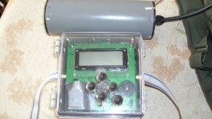
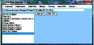
Our PPM system has originally been designed with a basic human-interface made of an integrated LCD and keypad but it can also now be remotely controlled from a Windows-based PC through any type of serial link using the PPM Utility program set in real-time control mode of operation..
This program runs on Windows-based systems (XP, W7, W8.1) to manage the system resources and remotely control a PPM system box loaded with the MarkVII version of Firmware.
The license of running this program in real-time mode is included with the underwater configuration, with the Blind (No display, No keypad) configuration and with the Bluetooth option
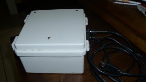
It is able to control and manage any PPM MarkVII configuration (Basic LCD-based or Blind configurations) by connecting to its specific serial control link.
For all types of PPM configuration, the program remotely manages the system parameters and the Survey Grid files.
For Blind systems (no integrated User interface device), it is also their unique but comfortable and sophisticated User Interface. This case is especially designed for underwater survey systems.
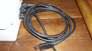
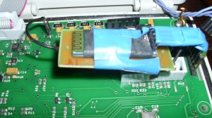
The basic serial link uses an USB converter cable but it can also optionally be equipped with a Bluetooth module to connect the PC to the PPM box .
This last option allows for example to use a Win8.1-based 8″ tablet to control the PPM in real-time during a survey session. For underground surveys, this allows the PPM box and the sensor to be carried in a backpack leaving the hands of the operator free to operate the tablet.
Basic Functions
The program is able to remotely:
- Manage all the system parameters of the SD Card and on the PC when connected to the PPM for real-time survey operations and those on the PC only for post-processing operations.
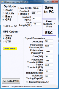
- Execute the sensor tuning process.
- Download and burn new versions of PPM firmware program on the flash memory of the PPM.
Remote Control Functions
The program is also able to control the PPM during real-time survey sessions.
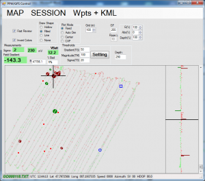
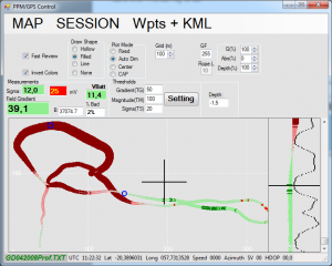
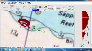
During these sessions, it records, displays and plots results as well as the navigation support data over the survey area.
Underground survey example
Underwater survey example
same survey with georeferencing
This program provides a GPS navigation support to follow a predefined grid of survey lines or to easily return to places of potential targets detected on the plots.
This is the window used to that purpose:
This is the same navigation support as displayed on a small tablet in vertical orientation

